Surveying using digital mapping

Surveying using digital mapping

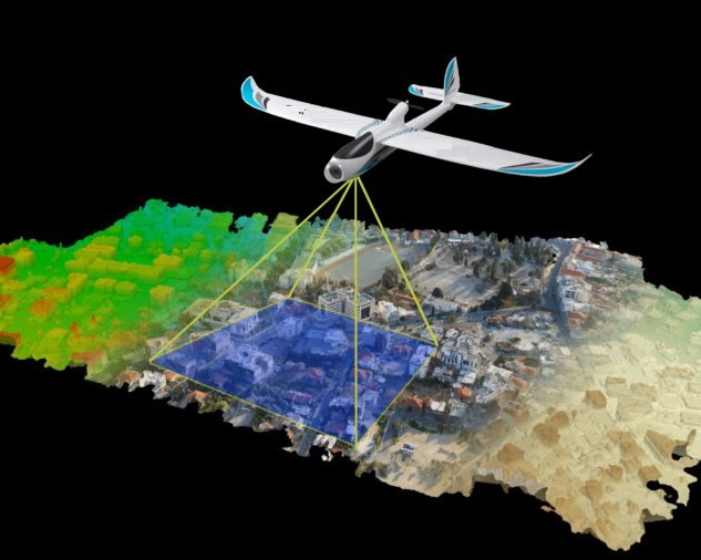
In ArEiCon the digital mapping application is used for the surveying with facilities of photographic and Aerial Surveying for the construction and design.

Team ArEiCon uses the digital mapping application for the surveying. We also have the facilities of photographic and Aerial Surveying especially for the construction and design.


Our Other services

Home Building Designing

Home Building Designing

View Detail
Urban Planning

Urban Planning

View Detail
Landscape Design Architecture

Landscape Design Architecture

View Detail
Building Construction

Building Construction

View Detail
Architecture and Engineering Trainings

Architecture and Engineering Trainings

View Detail
3D Design and Rendering of Building

3D Design and Rendering of Building

View Detail
Interior Design

Interior Design

View Detail